On a chilly, fog-filled morning we set out to tackle Branstree and Selside Pike.
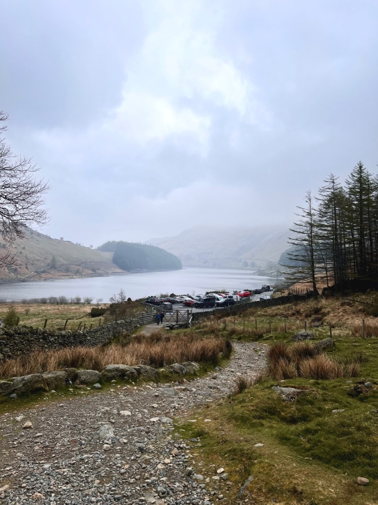
When we arrived at Mardale Head car park at 8 am, we thought finding a space would be easy! But it appeared that everyone had the idea to arrive early and the small car park was entirely full! There was a small space by the entrance that we managed to squeeze into. This was next to the stone wall that ran alongside Haweswater. We stepped out into a chilly, fog-filled morning, and prepared ourselves for the adventure ahead. Our mission that day was to hike Branstree and Selside Pike.
A chilly start
Mardale Head car park is located at the South end of Haweswater reservoir and only has space for about 25 cars. By the time we had laced our shoes up and strapped on our backpacks, cars had begun to park all the way along the lake. They didn’t leave much room for other cars. We had not one, but two fells to conquer – Branstree and Selside Pike.
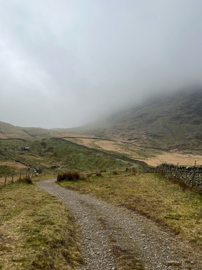
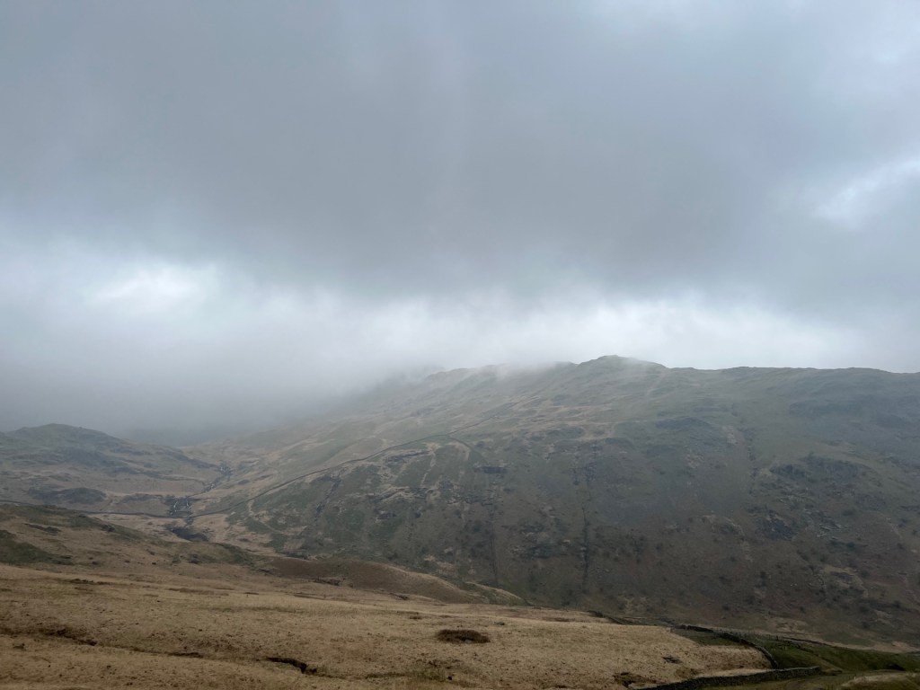
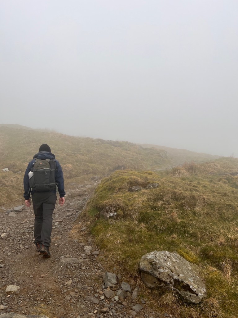
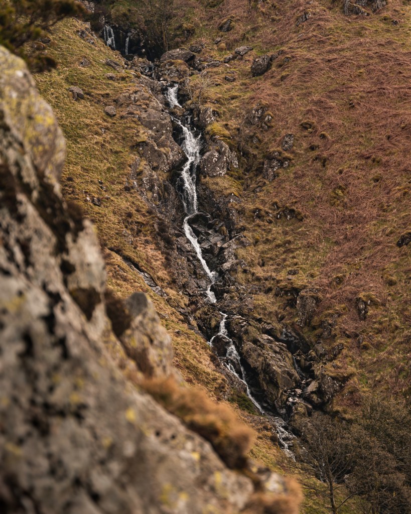
Mardale Head is the start of the Mardale Head Horseshoe and other popular fells like High Street and Kidsty Pike. But we took a different route, a quieter path up to Branstree Fell that would later lead onto Selside Pike. The route started with an incline straight away, up a loose and stony path. We had only been walking for 15 minutes when Martin found his first photo opportunity at a small waterfall. I revelled in the chance to catch my breath and sketch the peaks that were slowly being enveloped in fog.
It’s claggy up there
It was only a few more minutes up the hill before we were totally surrounded by fog. We met a wild camper who was making his way back to the car park. We stopped to chat for a few minutes.
“It’s very claggy up there!” He said.
Claggy; adjective: (of weather) damp and overcast or misty.
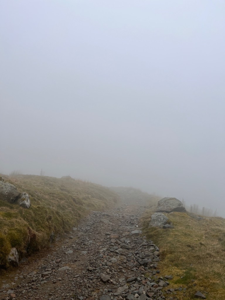
Now, I try to fit the word “claggy” into any conversation involving fog! It was really nice chatting with the hiker. It made us feel like we belonged there on the mountainside – like we were real hikers.
Follow the fence
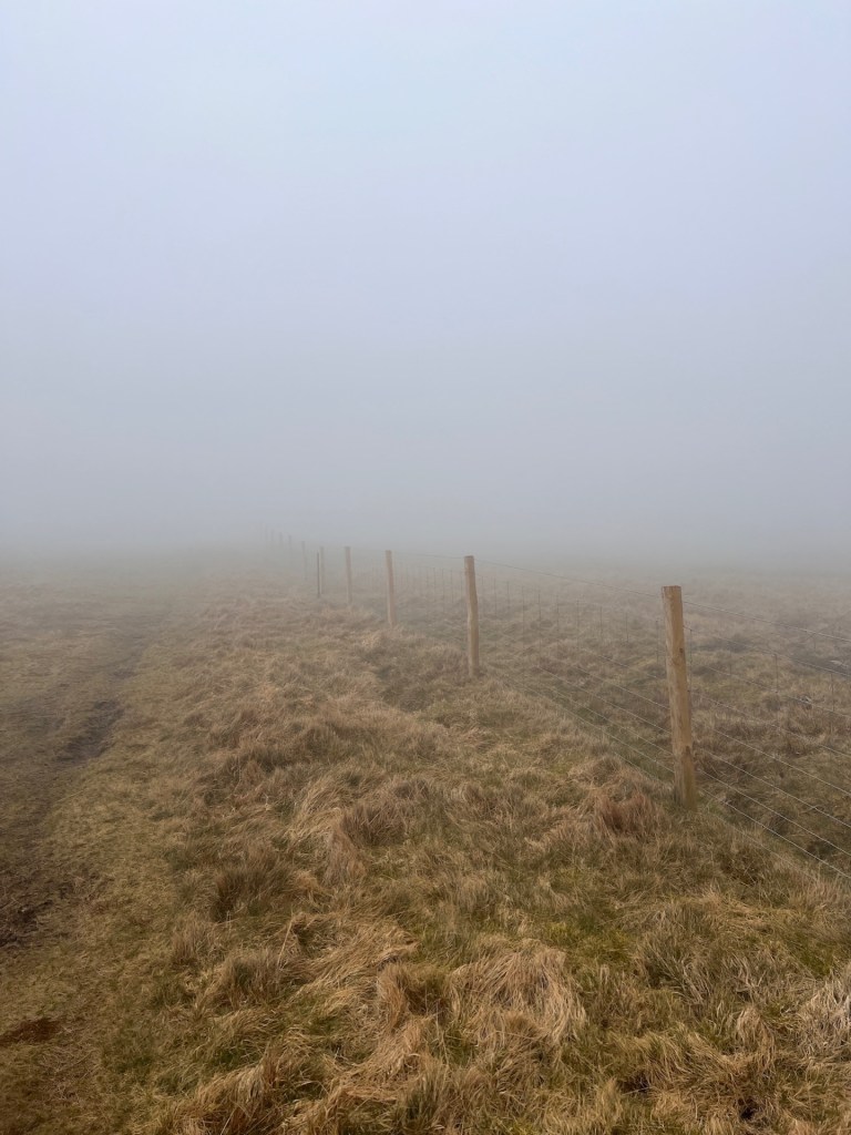
Alfred Wainwright described this walk up Branstree as being an easy one to follow in the fog, there is a fence that goes up the entire side of Branstree, and then along the top to Selside Pike. Although we hadn’t planned to arrive in the fog, it was probably the best fell to practise walking on in poor conditions.
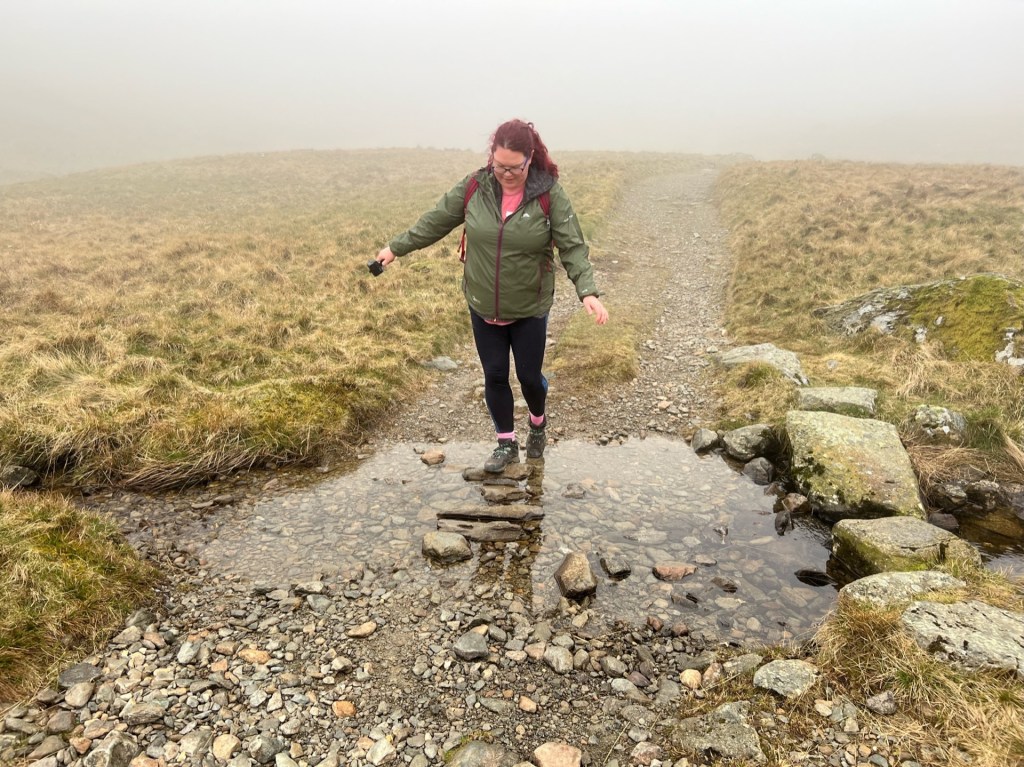
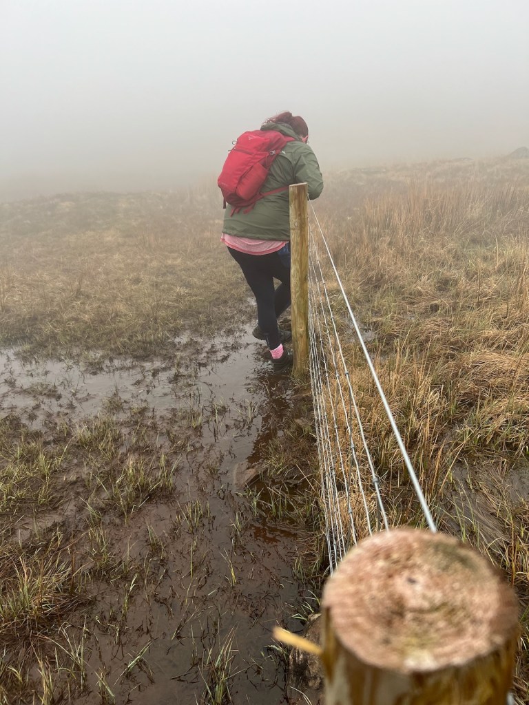
The bottom of the fell was extremely boggy. We walked around for a good 20 minutes trying to find a dry path across. In the end, we had to straddle the fence across the bog and hope it didn’t collapse under us!
Branstree Fell was our tallest peak so far – a whopping 713m! Previously, it was Great Mell Fell at 537m.
It sure felt like 713m slogging our way up the steep grassy slope. At first, I enjoyed the fog as we couldn’t see how far we had to go. It turns out though, that this wasn’t the case. It felt like we were walking forever up that mountainside!
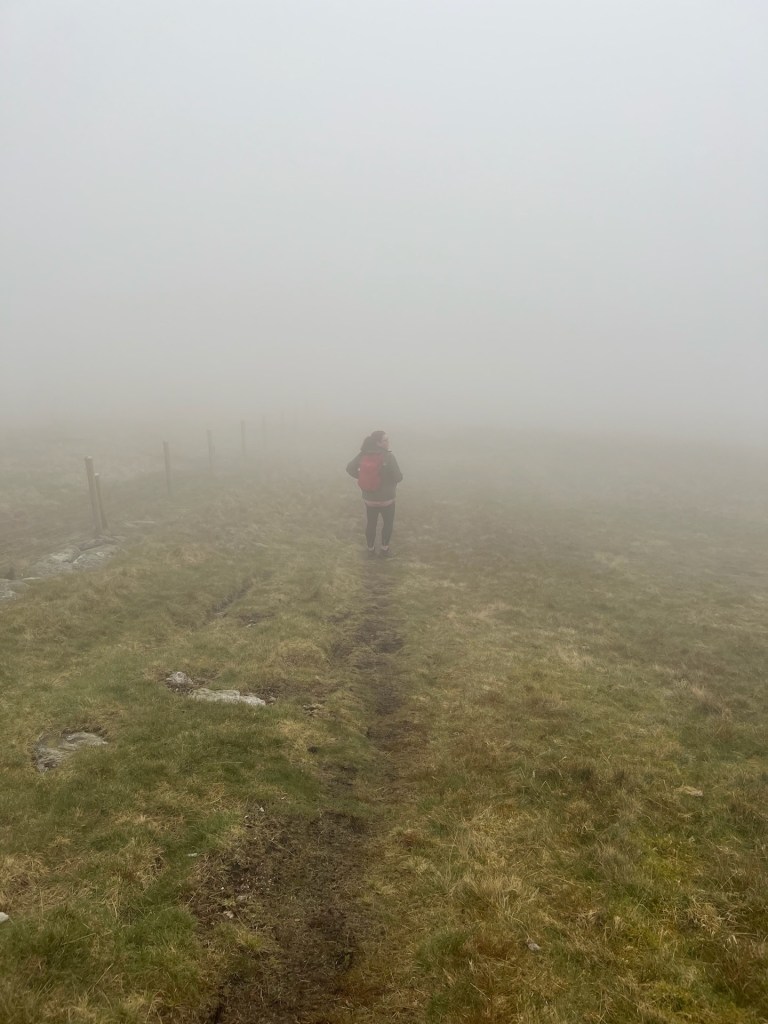
A circle in the fog at Branstree
For a few terrifying minutes at the top, we left the safety of the fence to walk out into the fog, in search of the cairn. Just five steps away from the fence and it was out of view. We hurried over to nothing except a mysterious circle of concrete.
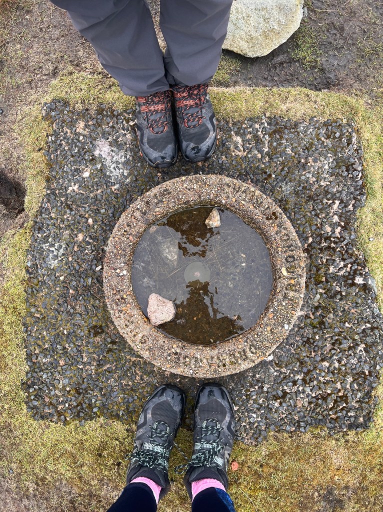
Wainwright mentioned a wide prospect of the distance Pennines, which I’m sure makes for a lovely view. On this day, however, it was just all white.
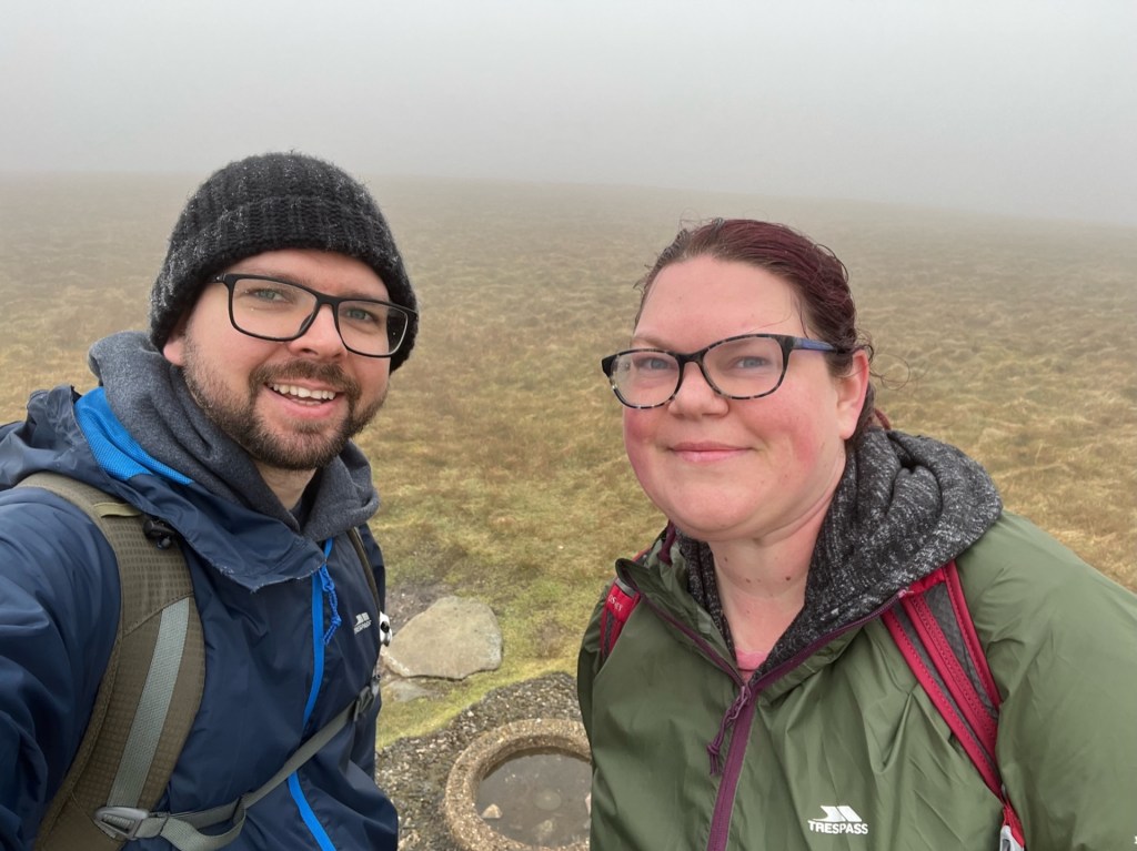
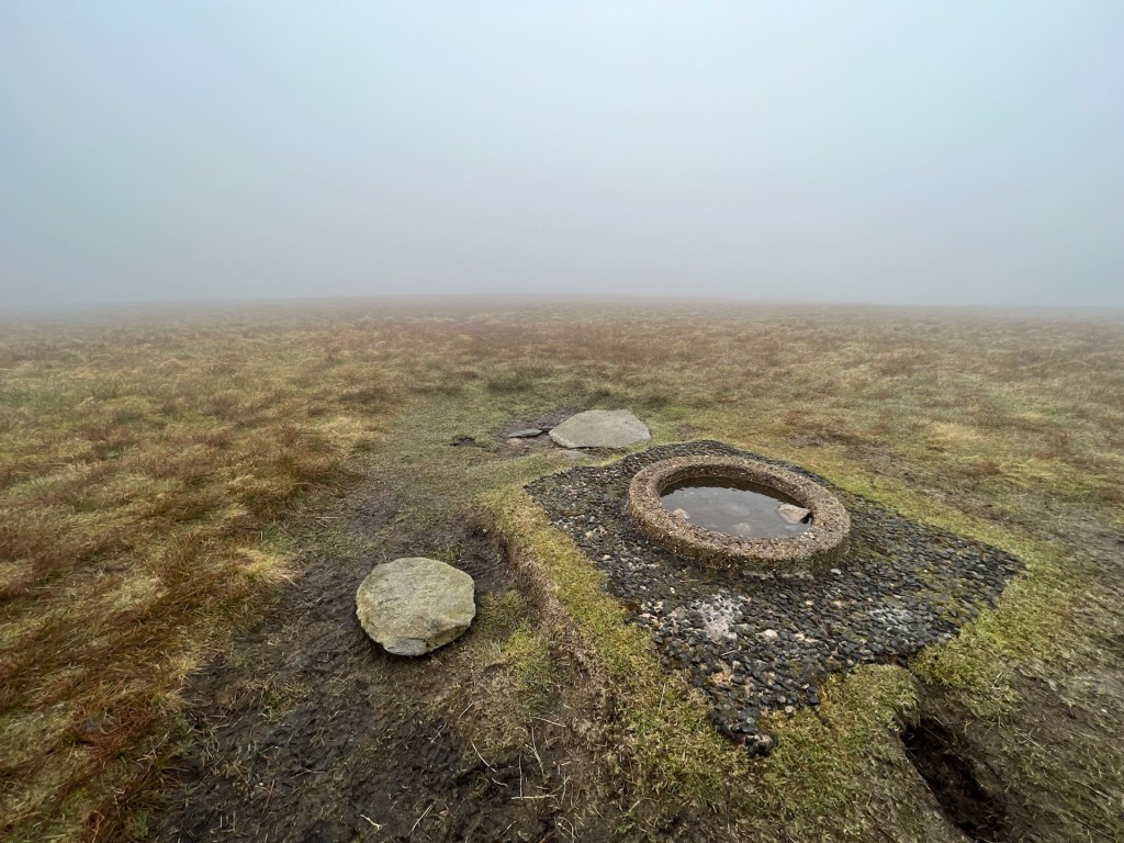
And suddenly, a view appears near Selside Pike
We follow the fence along the fell, which undulates through grass, mud, and a bit of bog. As we neared Selside the fog started to lift. Every now and then we would catch glimpses of Haweswater below.
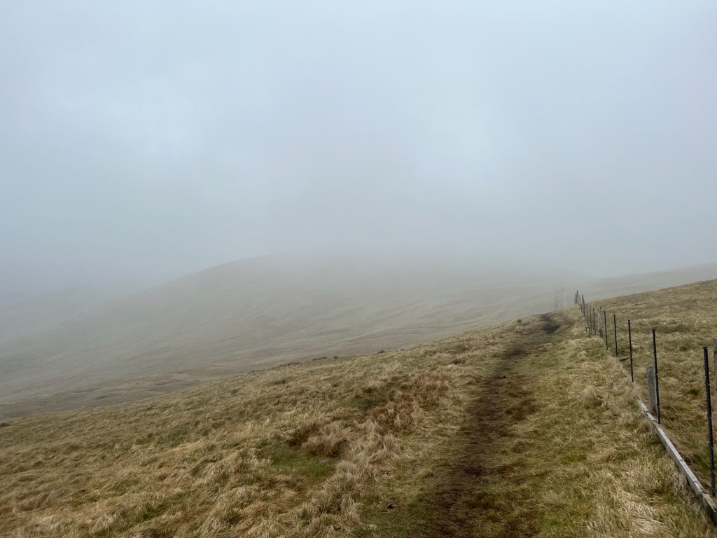
Walks on sunny days are very nice, but there is something special about the fog moving across the mountains. It teases you with small peeps of the view, which is very atmospheric.
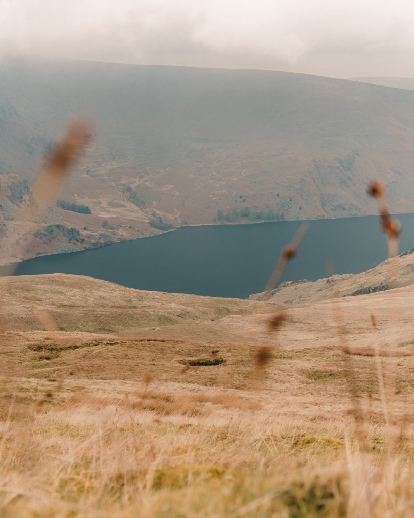
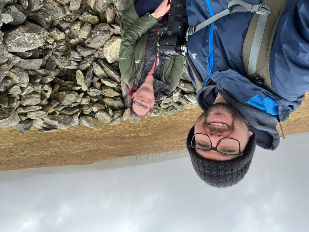
The fog had cleared when we reached the very blustery peak of Selside Pike. Wainwright describes Selside as “a dull grass mound with little reward in the views”. I must agree with Mr Wainwright on this occasion. After a quick sandwich stop, huddled in the windbreak, we made our way down the fell.
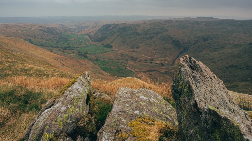
A fine valley view from Selside Pike
Soon the view opened up to a beautiful valley. We stopped to do arty things, warming ourselves in the first rays of sunshine we had felt all day. I think this is the Swindale Valley, which is one of the least visited valleys in the Lake District.
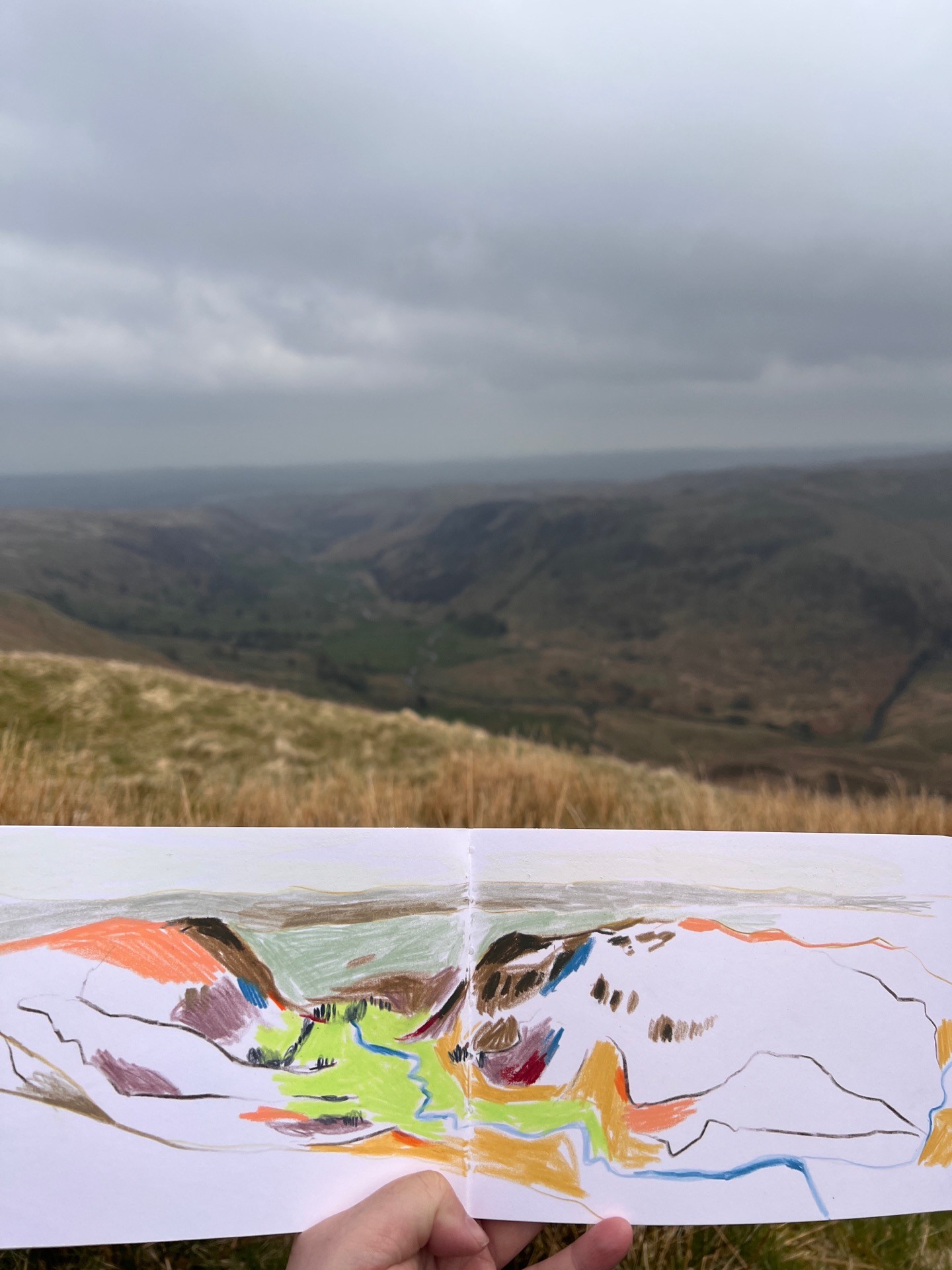
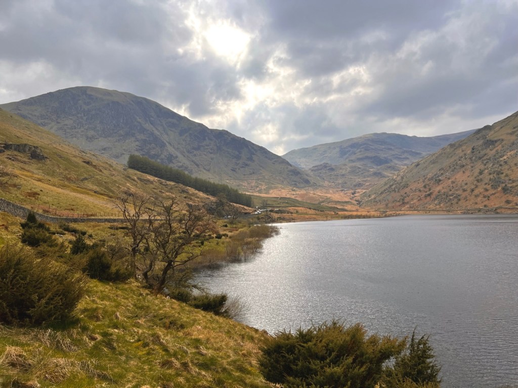
The walk after this was pretty much “left foot, right foot”. Finally, the ground levelled out, and we rounded a corner to see the most lovely view of Haweswater reservoir.
These ruins don’t ruin the view
There are a few old ruins above Haweswater which made a nice little stop for sketching. I also had a small nap in the sunshine, while Martin ran around taking photos.
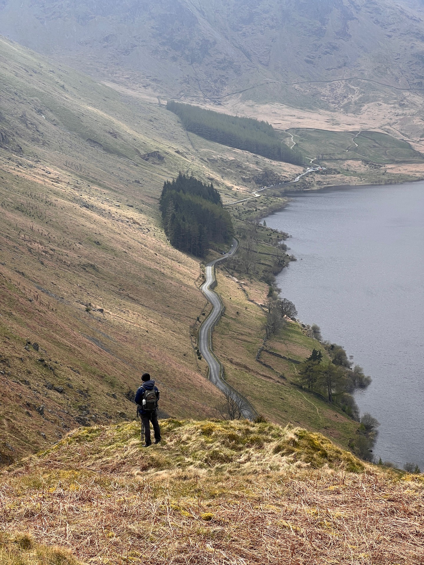
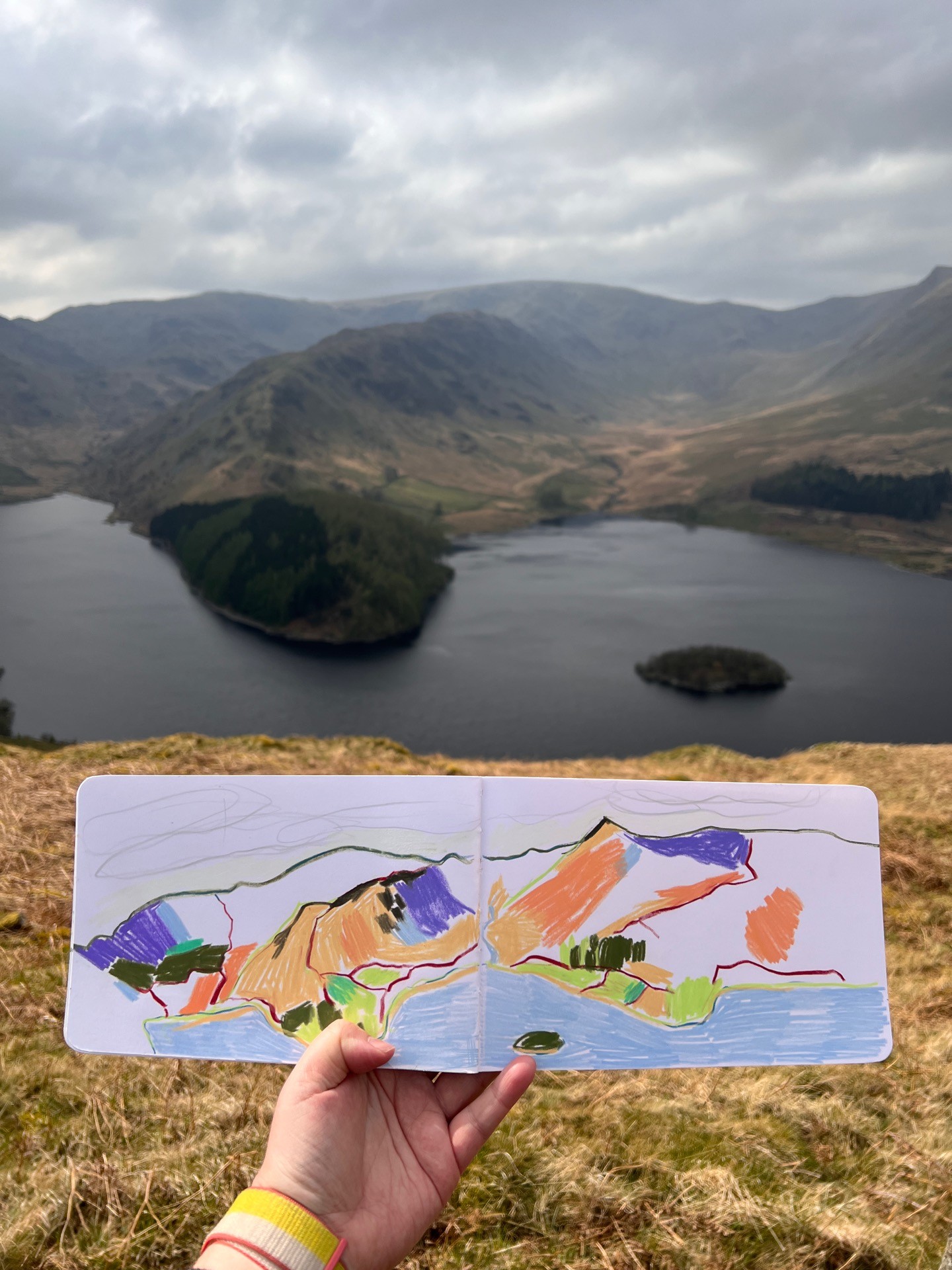
We joked that this could be our new home in the Lake District. Even without a roof or a door, we still wouldn’t be able to afford that lakeside view.
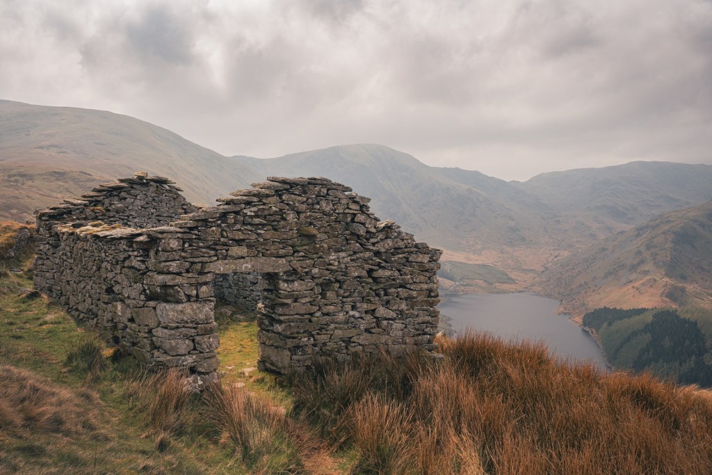
This hike was our longest walk to date and I was getting a bit low energy at this point. We still had a rocky descent to the reservoir and then the worst part of the walk – a horribly cambered lakeside path that felt like it went on for miles!
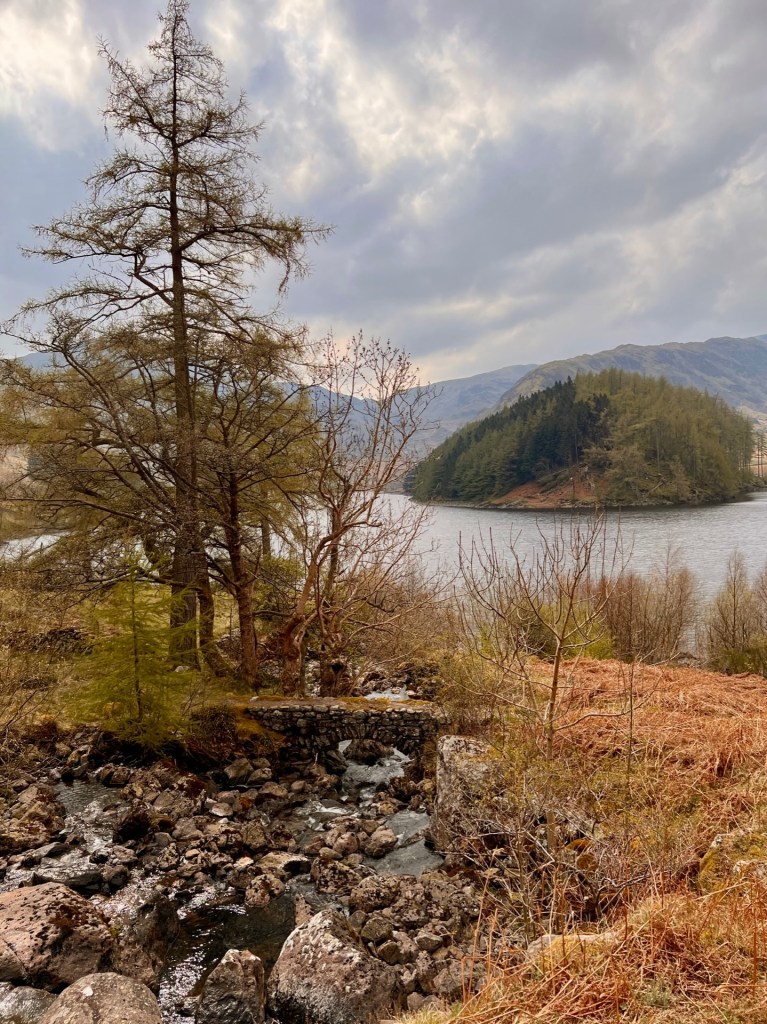
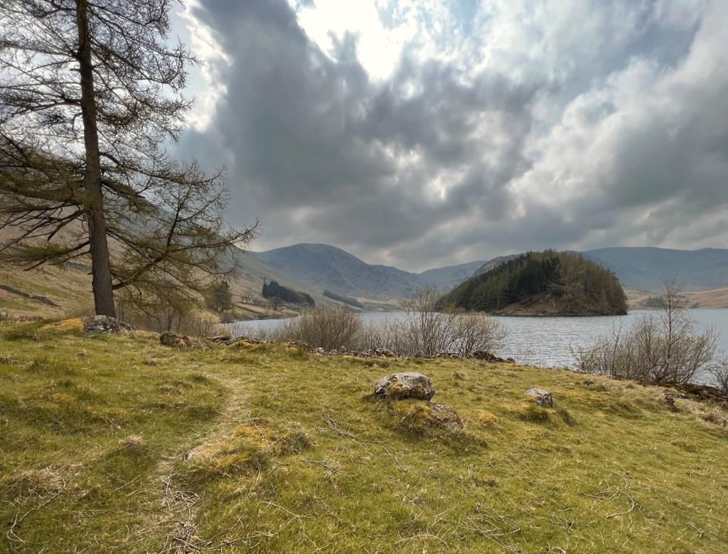
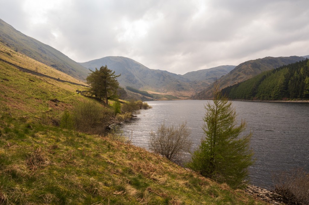
Finally, we reached the car. I was very tired at this point and so very glad Martin was driving home. When we visit this area again, I will definitely be walking on the road above the reservoir.
I’m sure we will return to Mardale Head in the future. But maybe a bit earlier in the morning next time, to beat the crowds.


